Map Functions : Location Tracking
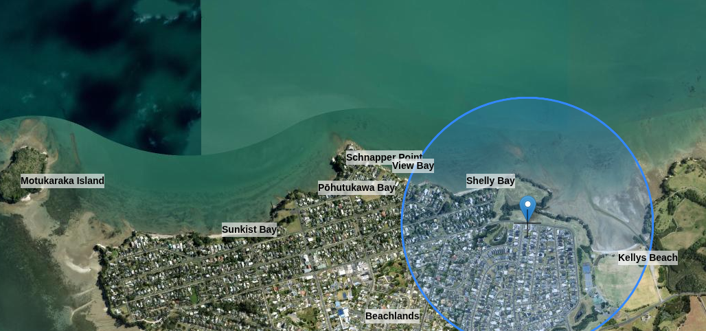
When exploring an area you can use a combination of location tracking, aerial maps, and place name data to give a real-time view of the area.
This is ideal for learning the names of islands, bays, beaches, and more as you journey past them.
Location tracking will request location permission from your device. This information is not passed anywhere, it is used only for setting the centre of the main map.