Sea Map
Base Maps :
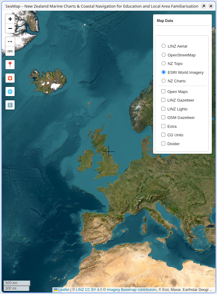
Aerial : ESRI
ESRI Aerial Imagery consists of hi-res global images.
Previous
Next